George Mandrovny
The short answer: pick a side, then a base
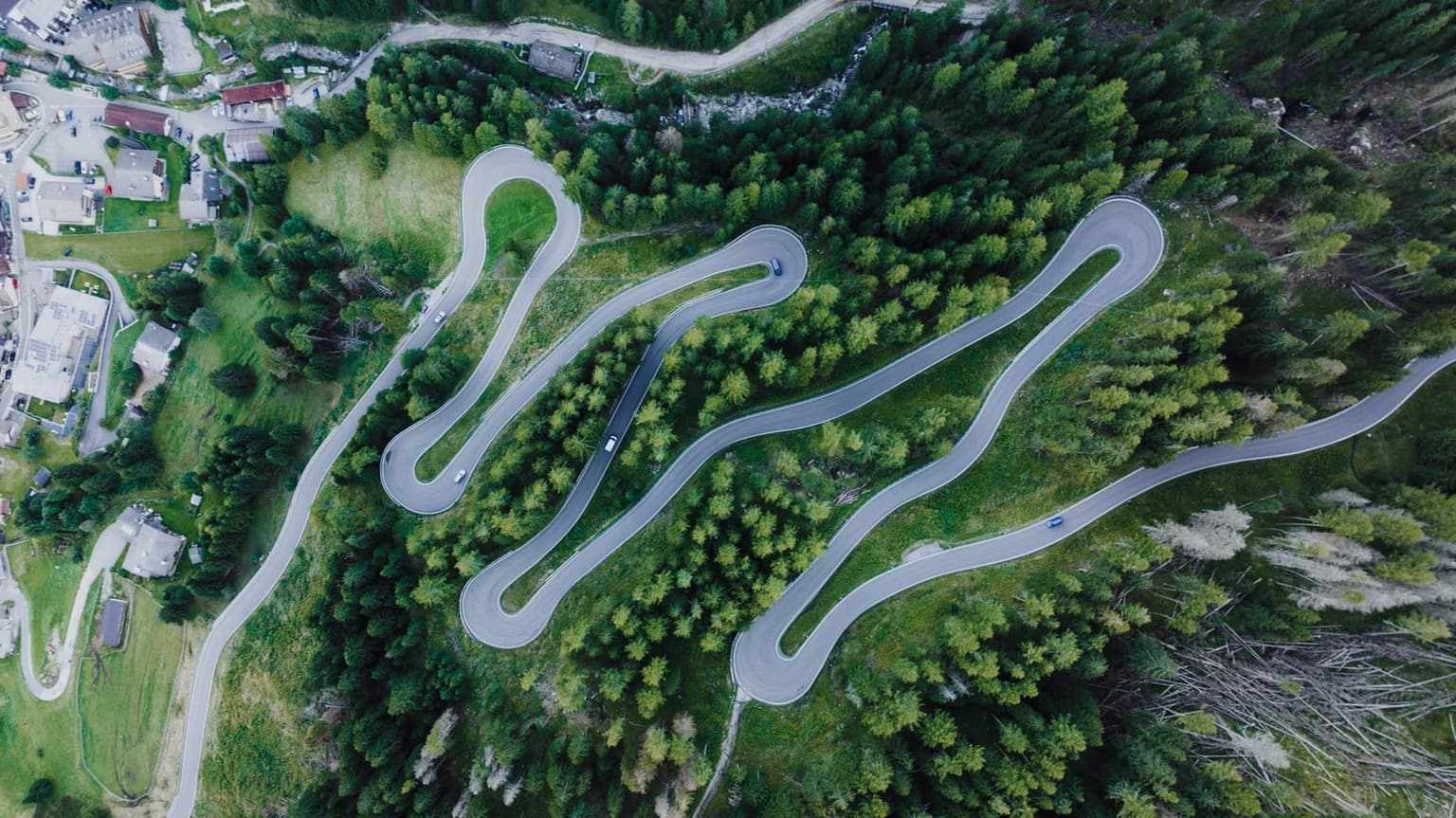
For anything under a week, pick one side of the range and stay there: base in a village that has a lift or a trailhead inside it, and plan every day in hours rather than kilometers. The trap that eats most first plans is assuming one base covers the Dolomites. Crossing from one side to the other is a travel day, not a morning, and a plan built on what a mapping app says the drive takes falls apart on day two.
- 3 days - one side, one base. Two walking days and a spare you spend on weather; the other side does not exist on this trip.
- 5 days - that same side done properly, with a day you can move when the weather says so.
- A week or more - both sides, with the move between them written into the plan as its own day.
- Booking order - lodging and any hut nights first, access reservations second, everything else late.
The Dolomites are not one hiking destination. They are two, a west side and an east side, handed from one regional transit network to the other, and the halves plan almost like separate trips. Everything below follows from which side you take: how many days buy what, which month works, whether you need a car, and which village you should be searching for a room in. The mistake I see most often is a beautiful hotel booked on the wrong side, which turns the best days of the trip into half-day drives. Pick the side first and the rest of the plan stops fighting you.
How many days you need (and how many sides they buy)
Start with the arithmetic, because it is unforgiving and almost nobody does it. Count only the days that are actually in the mountains, since arrival and departure belong to the road rather than to a trail. Then hold one of those back for weather. Everything still standing gets exactly one marquee thing: one big walk, one ridge, one lake, with an easy afternoon built around it. The rule I plan by is that days here come one item at a time.
| Trip length | What it honestly buys | What to leave out |
|---|---|---|
| 3 days | Two planned days and one spare. Use the spare on weather and the trip has no second chance. | The far side, and any day that opens with a pass crossing. |
| 5 days | Four planned days plus the spare, and room to go back and repeat the walk you liked. | A second base. Moving costs a whole day you only just earned. |
| 7 days or more | About five walking days, split between two bases, with the move costing one of the seven. | The idea of getting all of it. The first length with any slack in it. |
Days here do not compound, which is why a fourth day so rarely buys a fourth place. A second marquee stop on the same day is not an extra hour of driving; it is the whole day again, because you are back down at valley level and starting the climb from scratch. That is also how a plan quietly inflates: a night gets added to make the route work, then another at the far end, and the three-night trip you were pricing is now five. The only real optimization is subtraction: take a place off the list, not an hour off a day.
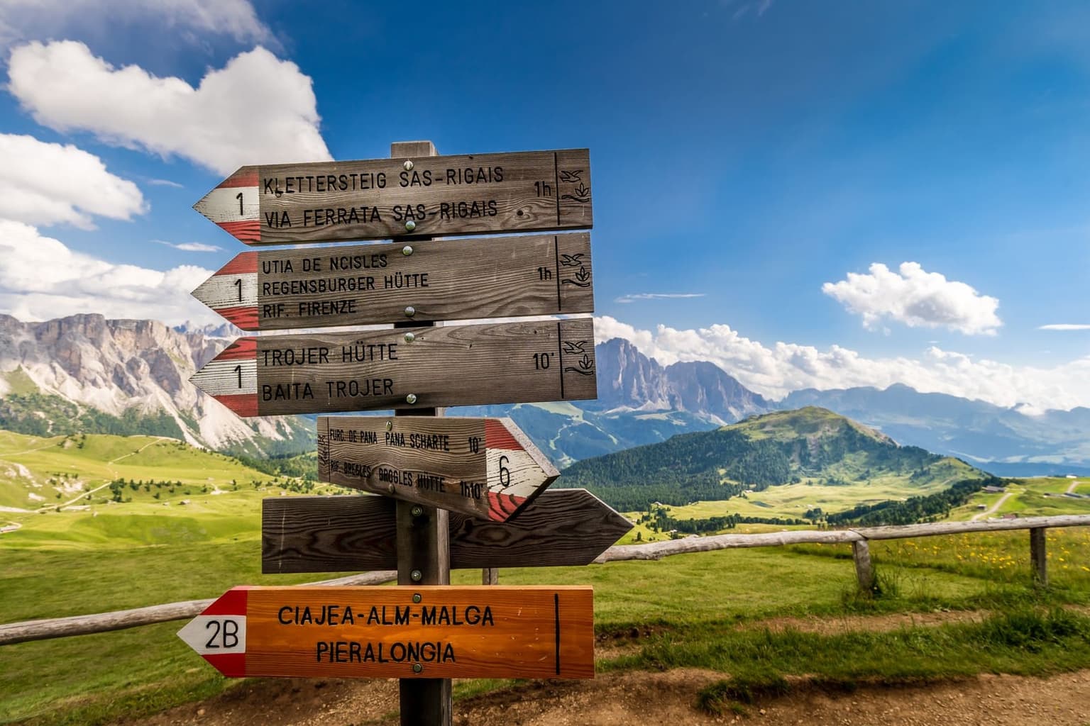
Which leaves the one conversion that matters. Ask anyone who knows this range how far apart two places are and the answer comes back in hours, not kilometers. That is not folksiness. Ridges and switchbacks set the number here, so the gap on the map has almost nothing to do with the time on the clock. The plan that breaks first is the one with a famous lake at one end of the range and a famous ridge at the other, booked into the same Tuesday. You get the drive; the second place gets whatever is left of the afternoon.
Hut-to-hut or a base camp: which trip is yours
A hut trip and a base camp are two different vacations, and the fork has little to do with fitness. A hut trip asks three things. You carry everything for the whole route on your back, because nothing is moved ahead for you here the way it is on Europe's inn-to-inn walks. You walk consecutive days whatever the sky is doing, because tomorrow's bed is up the trail and nowhere else. And you commit to those beds months before anyone can see the weather that will decide the trip. Alta Via 1 is the famous version of all three. A hut night is a bunk in a room of bunks, blankets folded at the foot, and dinner at a long table with whoever else walked in.
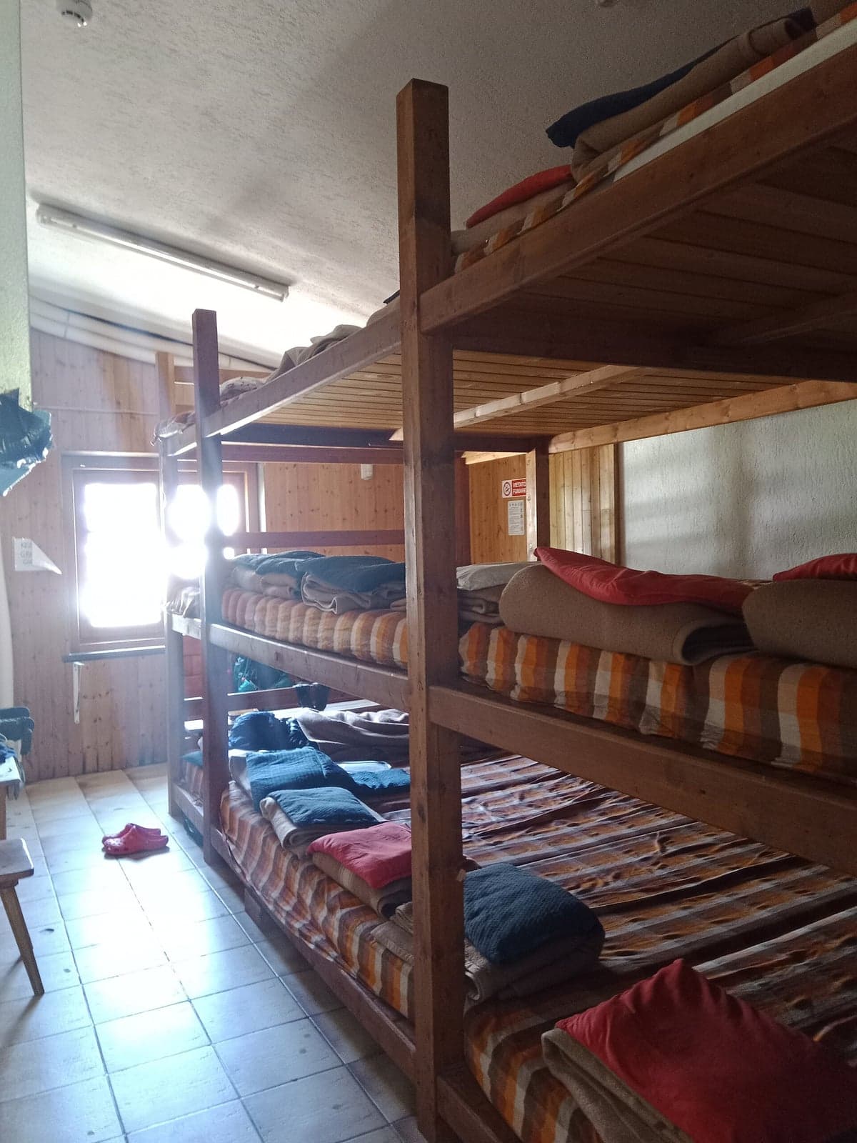
All three have to be a yes, and I find the third is where it fails. If it does, you are a base-camp traveler on this trip. That is no consolation prize here: you drive or catch a bus out to a trailhead every morning, but the lifts hand you the high ground on the first afternoon, and you keep a base to leave your bag in and days you can reorder on the morning forecast.
The third road exists because the hard part of a hut trip is the booking, not the walking. The good huts fill from the far side of winter, plenty never answer at all, and a chain of beds is only as strong as its weakest night. A guided trek is somebody else owning that chain. Look for fixed departures with the beds already held, the luggage arrangement in writing (some sleep you in valley hotels and hand you a day pack, which is a fine trip and not this one), a group size you can stand, and every day's climb published before you pay. Skip whatever is sold on scenery alone.
When to go: the two sides don't open together
No lift company tells you this, and none of them could. The west's big ridge ropeways are running a full two weeks before the east side has one lift turning. So a trip that lands in the first days of June is a different vacation depending on which side you booked - from a west-side base you are on the high ground on day one; from Cortina you are still waiting on the machinery.
| Lift (side) | Summer 2026 window |
|---|---|
| Mont Sëuc, Ortisei (west) | May 1 - November 2 |
| Seceda ropeways (west) | May 22 - November 2 |
| Seiser Alm cableway (west) | May 22 - November 2 |
| Ciampinoi, Selva (west) | June 6 - October 11 |
| Fermeda ridge chairlift (west) | June 20 - September 20 |
| Lagazuoi and Cinque Torri (east) | Opens June 6 |
| Freccia nel Cielo, Tofana (east) | June 13 - September 27 |
| Faloria, Cortina (east) | Opens in July |
Read June closely. The east side switches on lift by lift through the whole month, and so does part of the west: four western lifts, the Seceda ridge connector among them, do not start until June either. There is no such thing as the west opening in May. And the lift date is not the trail date: how much old snow is lying above the top station is a question the year answers, not the calendar. "Snowbound until July" is a rumor, not a rule.
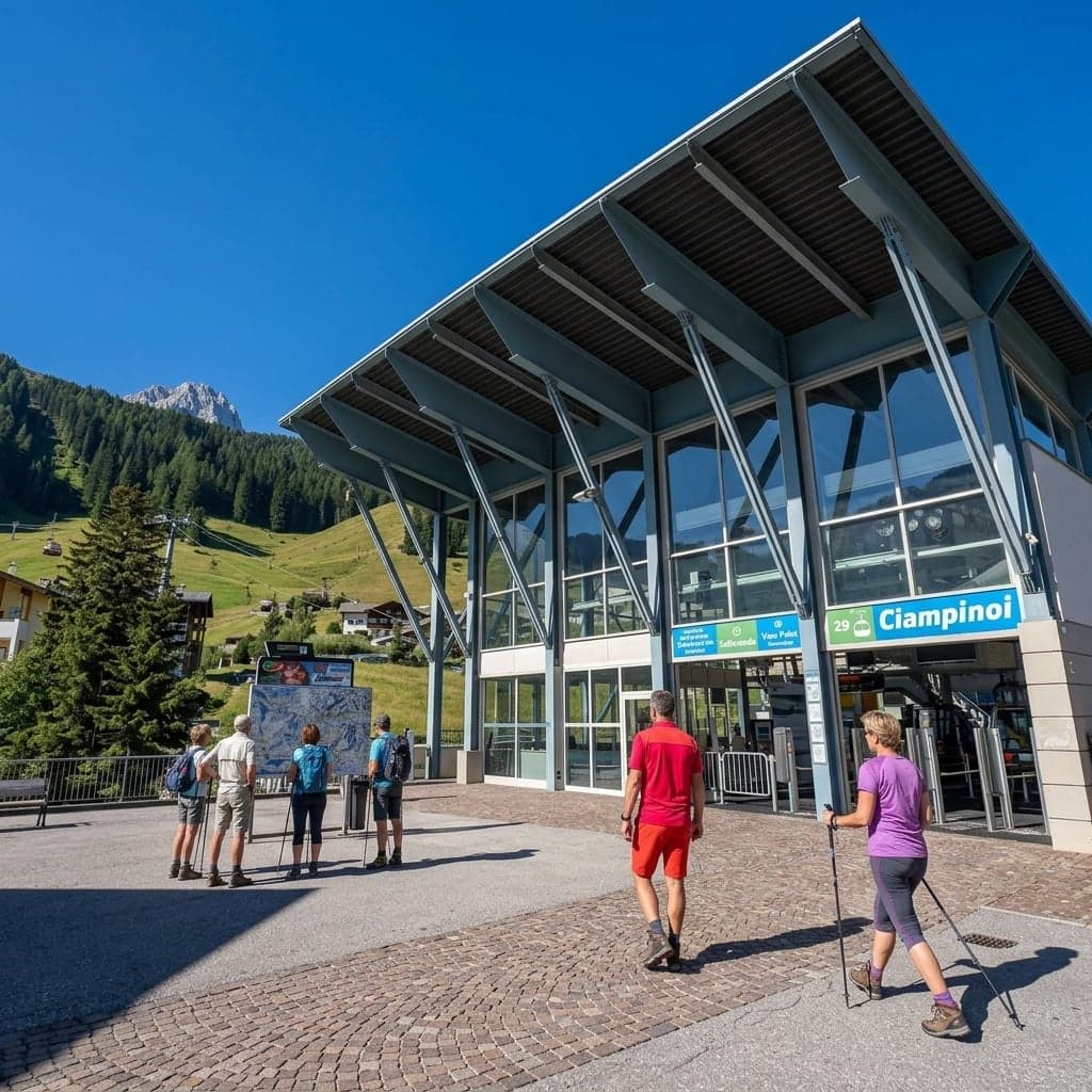
July through mid-September every lift runs and everything is full. After that the closings start, one lift at a time, which is how a September plan loses its best day.
The asymmetry runs the other way, too: the west's biggest ropeways keep going into November, weeks after the cable car up the Tofana above Cortina has stopped for the year. If I had a week in October to spend here, I would not spend it on the east side. Larch color is the reward for going late, and a gamble: the week they turn is not necessarily a week your lift still runs. What does not happen is the range going brown. The color here is rock, and rock keeps no season.
And if the quiet weeks between the seasons tempt you, count what the calendar leaves: the ski lifts stop in early April, the first summer lift is roughly four weeks behind them, and the ropeways most people want are about seven. There is nothing in the gap.
⚠️ Warning
An open lift is not an open trail. And the lift above your lift can run a shorter season than the one that feeds it: the Seceda ridge connector opens a month later and shuts weeks earlier than the ropeway beneath it. Check the specific lift your day depends on, not the resort's season.
Car or car-free: the seam that decides your side
The buses here are better than their reputation and worse than your plan needs. Up and down a valley they are genuinely good, and they stop where the trails start. Across the middle of the range they are not, which is simply where the rock runs. A car buys the crossing and the trailheads no timetable was written for. Without one the trip is not off; it just asks for the decision early.
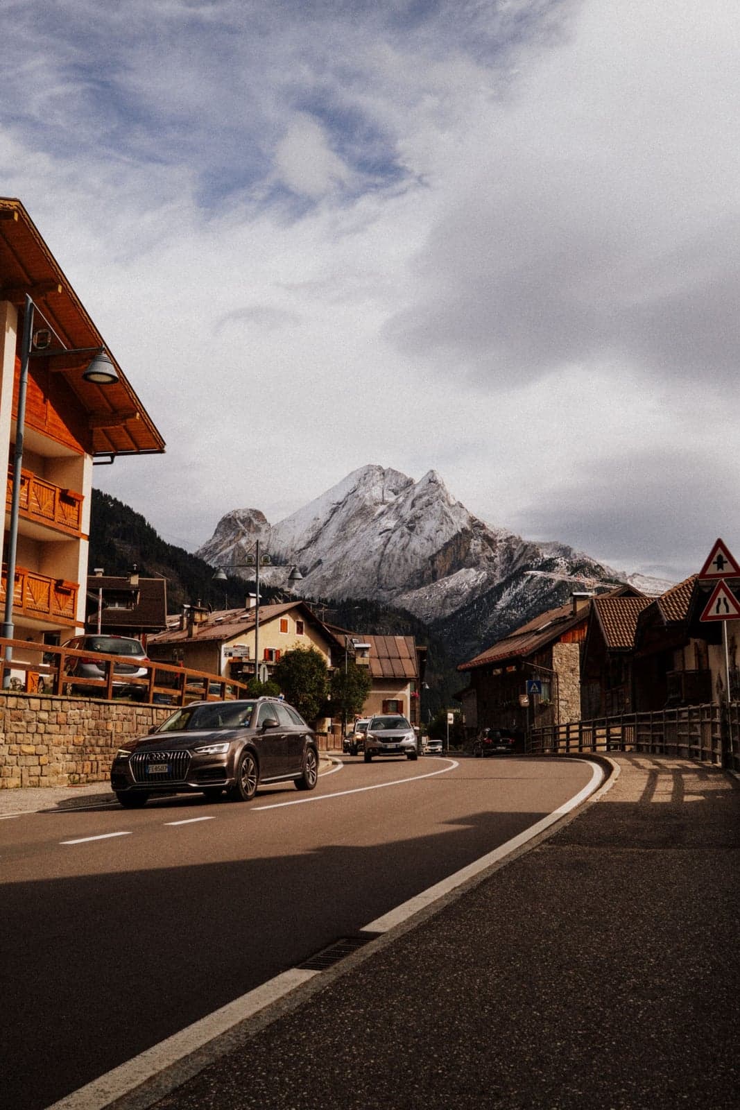
What a car-free week reaches is a seasonal question, and the two sides answer it differently. On the west, the summer pass buses run the circuit over the Sella and Pordoi from June 7 to October 11. The eastern summer lines out of Cortina run June 8 to September 9. So a car-free September is a full trip on the west side and a thinning one on the east: same month, same fitness, different room.
The split is administrative, not geographic. Two transit authorities run this one range: South Tyrol's integrated network on the west and north, and Belluno's operator on the roads around Cortina. The two networks connect on the bus from Dobbiaco/Toblach across to Cortina, a line South Tyrol tickets cover, roughly 50 minutes end to end. Crossing the seam is still a travel day out of your base, which is one more reason a short trip picks one side.
⚠️ Warning
A ticket bought on one side of the seam is not automatically a ticket on the other, and the guest passes that come with a room carry line exclusions. Check what yours covers on the exact line before a day depends on it.
So make the call from the plan, not from the driving. One side, a base at a lift: the buses carry that trip. Both sides, or a trailhead no line serves: that is a car. Which airport, how the passes are sold, the ZTL zones and the fines that reach you at home months later are all in my guide to arriving in the Dolomites.
If it is a car, rent the smallest one your bags will allow: valley lots and switchbacks decide that, not comfort. Confirm in writing what your hotel does about parking before you take the room, not after.
Compare small-car rentals for pick-up at Venice Marco Polo
The smallest car your bags allow - valley lots and switchbacks decide that, not comfort
One base or two - and what makes a base wrong
One base is the default here, and it holds further up the trip length than most people expect. A second base has to earn a whole day, and it only does that when the far side is the reason you came and you have a car to get there. The move is never a morning. Val Gardena to Cortina is about two hours of real driving, and both Passo Gardena and Passo Falzarego handed me slow campers and cyclists I had no way around - on hairpins like those nobody passes safely, whatever the car behind me thought. Two hours of it left me as worked over as a trail day would have. Then pack up at one end and check in at the other: half the daylight is gone before a boot touches a trail.
A base can be on the right side and still be wrong. Three things do it. High on the hillside above its village is the view you booked the trip for, and it is also a climb home from every dinner and a walk down to every bus. No lift and no trailhead inside the village hands you a parking hunt at the start of every day in July and August, which is the quietest way to lose the best hour of light. And on a car-free trip, the wrong side of the network seam turns half your list into an expedition. Sleep low in the village, and sleep where something goes up.
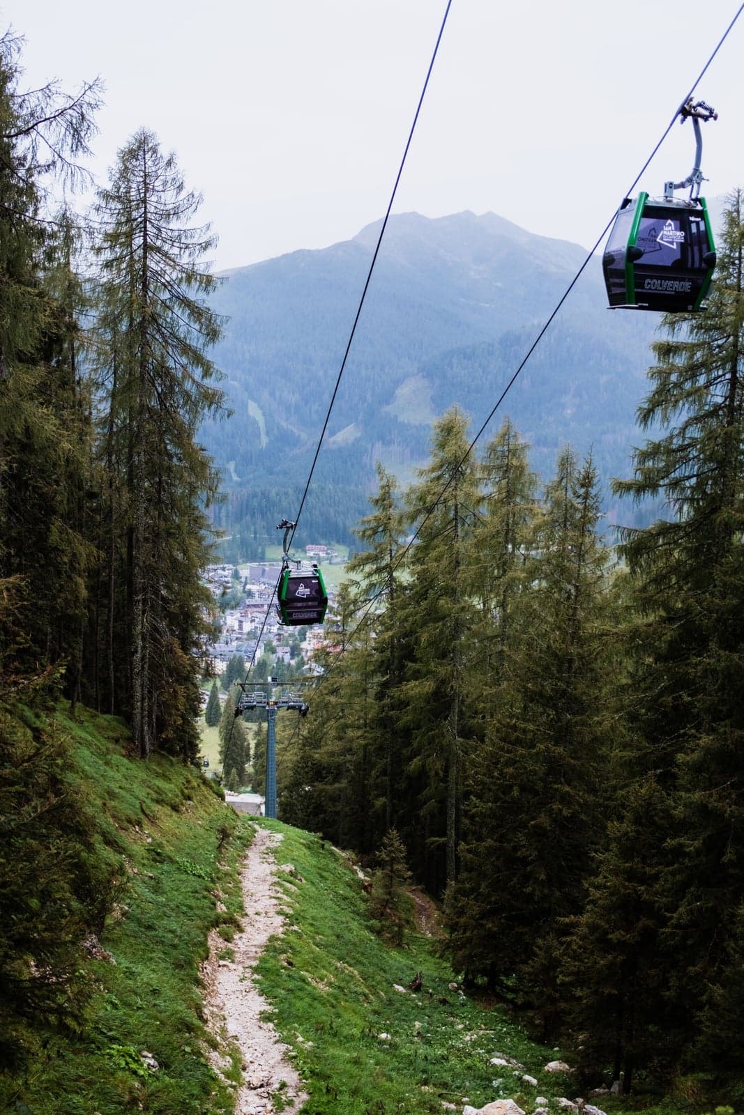
On the west that means the Val Gardena villages - Ortisei, Santa Cristina, Selva - or Siusi, at the foot of the Alpe di Siusi cableway. On the east it means basing yourself in Cortina d'Ampezzo, where the big eastern days start and the summer buses that reach them start too. And if you insist on one base for both sides, Alta Badia is the honest middle. Its own tourist board is the tell: it publishes the distance to Brunico, a little over 30 km, and to Bolzano, 65 km, and none at all to Cortina. That is which way the valley faces.
Bolzano is the obvious rail arrival and sits in the middle of the map, and it is not in the Dolomites: a valley city outside the range. And half these places answer to two or three names - Ortisei is St. Ulrich and Urtijëi, Alpe di Siusi is the Seiser Alm, Selva is Wolkenstein. That bites at the booking stage rather than the browsing stage, so check which name your booking site is using before you decide two hotels are in different places.
Expect minimum stays in the peak weeks. Then read the listing for the two things it will not volunteer: how high above the village it sits, and how far it is from the lift or the trailhead you came for.
Which days to pick on each side
Order matters as much as pairing. The marquee walk goes in the morning and the easy partner goes after it, because the partner is the shock absorber: it takes the hit when the group is slow or the morning starts late. Reverse them and the big day gets the leftovers.
Seceda. The west's signature half day: the cable cars set you down on the ridge, so the walking starts where the view already is. Go up on the first cars and you get the top quiet and the afternoon back. People ask about walking up from the valley instead; on a trip this short that is not the move - the climb is a day in itself. Settle what a ticket costs and how the timed entry works first, because that fixes your start time.
Alpe di Siusi. The plateau day, and the one that rescues a group whose fitness does not match. The walking is close to level and the huts mostly sit right on the trails, so the day runs exactly as long as the slowest person wants: you turn around at a hut, not a summit. The plateau road is shut to private cars through the middle of the day, so this is a lift-up day or an early one, never a lazy eleven o'clock arrival by car. The checkpoint, the lots and the parking reservation live on one page.
Val di Funes. The west's other full walking day, and the one people talk themselves out of. The trail along the foot of the Odle looks in photographs like it needs a harness and needs nothing of the kind: a long, near-level walk under a skyline you recognize before you get there. It is the fall day too, if your dates run late. Parking is rationed, so it is a first-thing morning or a bus day, and how the quota is booked is its own subject.
Every good day here is built around a hut lunch rather than a summit: pick the hut first, then the walk that reaches it around noon.
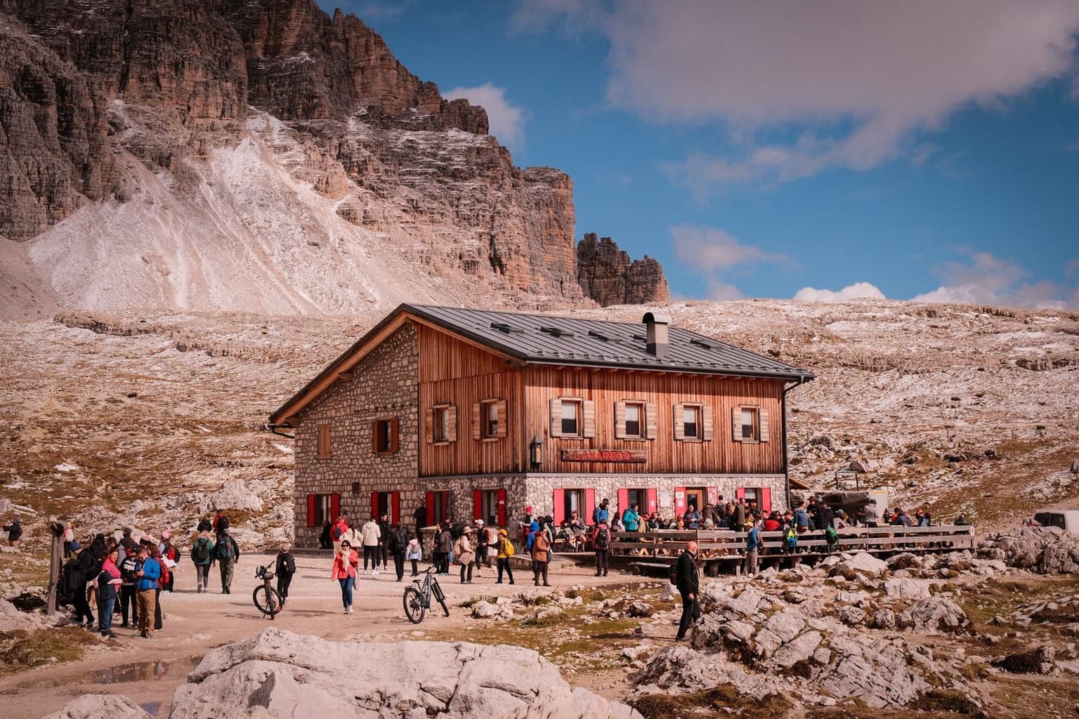
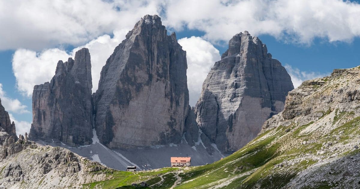
Tre Cime di Lavaredo. The most-planned day in the region and a full one: the loop under the three towers is why most people book the east side at all. The road up is paid, timed and tied to your license plate, and booked in advance - which makes it the thing you fix the same week you fix your dates, and the day that quietly decides where you sleep over here. Everything that road gate asks of you is worth an early read.
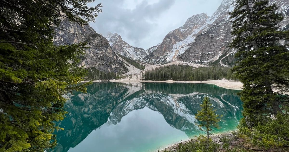
Lago di Braies. About an hour around the water, not a day. Size it as the small half of a pairing; give it a whole day and you are hunting for something to do by mid-morning. Take it first thing and drive on to something longer nearby: the one pairing that runs backward, because the middle of a high-summer day is gated - the hours the road closes, and the ways in that need no car are worth knowing before you set an alarm.
The Cadini di Misurina viewpoint is not a day of its own: it is a 35-minute detour off the Tre Cime day, walked best before the loop. Cinque Torri and Lago Federa are the east's next tier, for when you have more days than marquees.
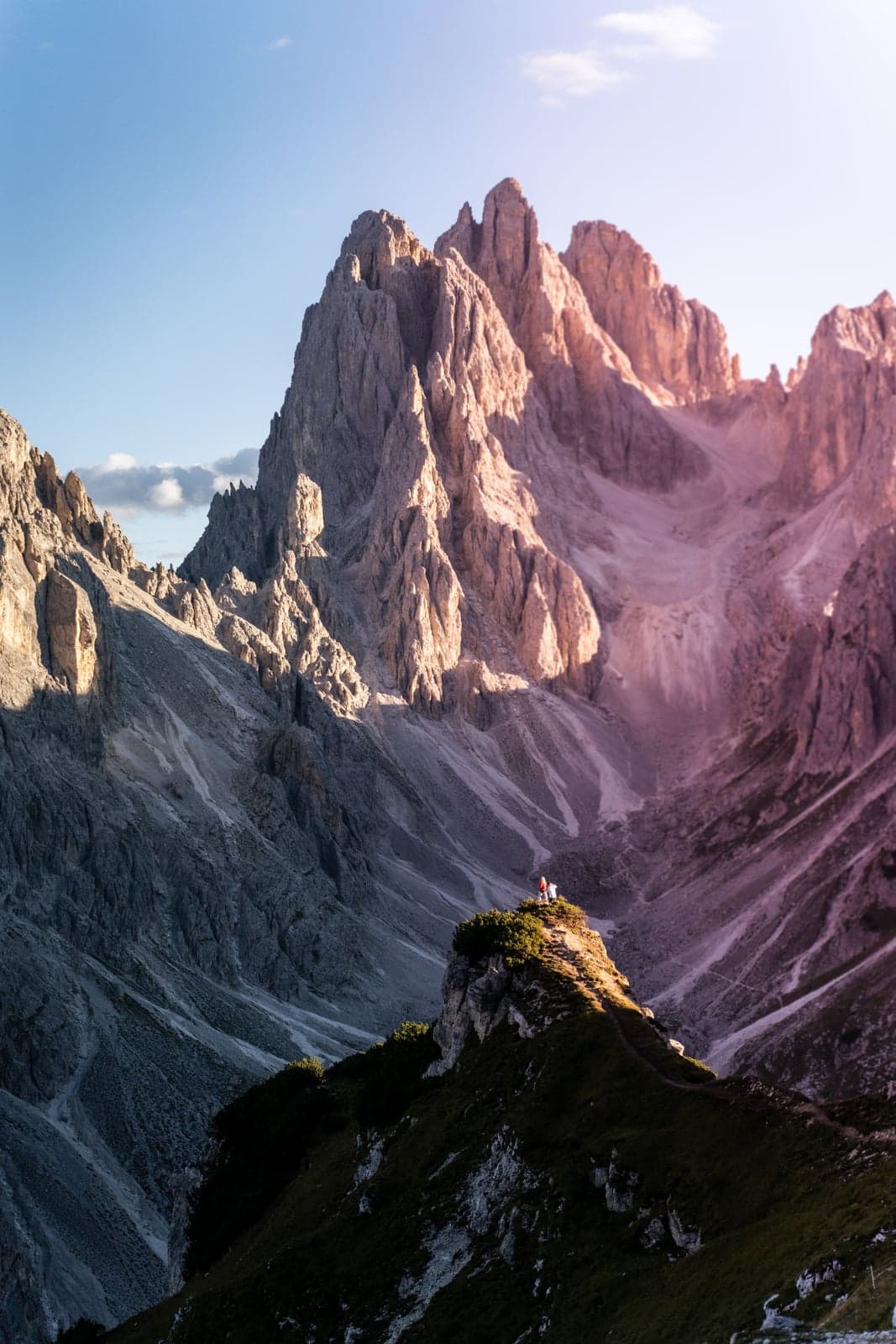
Which leaves the question every west-side base eventually asks: is an eastern day doable without moving?
Yes, and I would sleep closer next time. The road east is long and it climbs hard, and an eastern marquee day fills a day by itself: I left in the dark and got back in the dark. That drive is easy to write off as dead time, and it is not, if you have a day to give it. But go into that day cold and it will punish you, and I came home tired enough to plan it differently.
How hard it really is, and how the day runs
Trails here are not graded easy, moderate and hard. The Italian alpine club grades by letter and publishes what each letter assumes about the walker. The middle letter, E, covers most marked routes here, and it is the one that reaches an American as "moderate." What the club writes into it: steep pitches, ground that shifts from pasture to scree to bare rock, and easy rock steps where a hand goes down for balance. Not exposure, though: that sits one letter up at EE, with traverses, ledges and a written requirement for sure footing and no fear of heights - still filed as hiking. Where a route at E does cross an exposed point, the club says it is generally protected.
So you are reading a letter with a published definition where you expected an adjective. Easy days at altitude are rare here; short ones are not. The fair test for a group is the walk in to the Sorapis lake: it reads as moderate, and it crosses narrow ledges, generally protected rather than guaranteed.
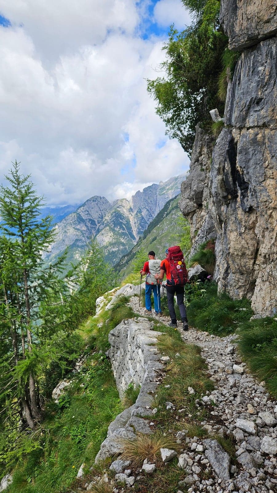
What hurts people is the way down. Knees pay for the descent rather than the climb, and poles are what first-timers most regret leaving at home - if I could hand one piece of gear to somebody at a trailhead here, that would be it. The other injury is self-inflicted: boots bought for the trip and first worn on the trail. Break them in at home, or bring shoes your feet already trust.
Cell signal drops in these valleys, under the walls - expected, not a crisis, and irrelevant if you prepped right. Charge the phone before the trailhead, download the offline map for your valley the night before, and open it once in airplane mode to confirm it actually loads. That five-minute check at home is the whole fix.
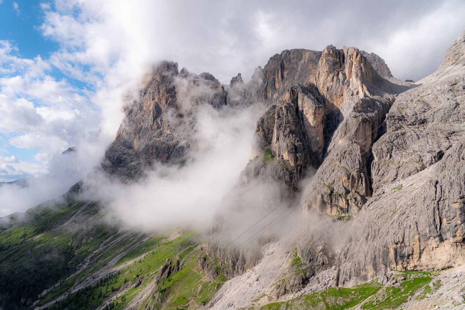
The day itself has a shape you do not get to argue with. Summer afternoons build their own weather, so the answer is an early start rather than a hopeful sky - and the margin you are buying is daylight as much as dry air. Trailhead lots fill early, and the lift bases jam by mid-morning.
The province's mountain forecast for the Dolomites (province.bz.it)
⚠️ Warning
When a storm builds, South Tyrol's civil protection guidance is blunt: get off summits and ridges as fast as you can, and stay off exposed ground. Check the mountain forecast the night before, not the city forecast on your phone. Miss the last lift down and the walk out is longer than the hike was.
What to book, and when
Book in the order of scarcity, not in the order things occur to you. Most of a trip here needs no booking at all, which is why the short list below is worth getting right.
| What | How far ahead | Why it bites |
|---|---|---|
| A room in the valley | As soon as the dates are real | Everything else here can be rearranged around a room. The room cannot. |
| A hut bed | As early as the hut allows | One well-known hut opens its book with the calendar year and works through requests from mid-February, and a February inquiry for a September bunk can already be too late. The South Tyrolean, German, and Austrian alpine clubs cap advance bookings at 90% of a hut's beds. |
| Access reservations | Online, before you fly | There is no single system: each gate is booked where it is enforced. |
| Alpe di Siusi plateau parking | About six days out, no sooner | The one gate you cannot settle in advance with everything else. |
| Lifts and multi-day cards | No booking clock | What to check months out is the season window, not availability. |
The gated places, and what you are actually booking at each:
- Tre Cime di Lavaredo - a road reservation carrying your license plate.
- Lago di Braies - an entry reservation to drive in, and in high summer the shuttle bus takes its own booking; on foot or by bike, nothing.
- Alpe di Siusi - a parking reservation, now required at both plateau lots.
- Val di Funes - a space out of a limited quota.
- Prato Piazza - no reservation at all: a €10 toll, a ceiling of 100 cars, and car-free middays - in early summer and fall (June 6-30, September 16-November 8) cars pass only before 10:00 or after 15:00; in high summer (July 1-September 15) before 09:00 or after 16:00. The bus up needs no booking either.
The walking is free. The money is the lift, the parking or the toll, and lunch at altitude, and two of those three are gates an early start does not get you around. Carry cash for the third: up here a card works only if the hut's connection does. If a hut night is in the plan, the hut rules require you to bring your own sleeping-bag liner. Then check whether your travel medical cover includes mountain rescue.
FAQ
- How many days do you need to hike in the Dolomites?
- Three days buys one side and one base: two planned walking days and a spare for weather. Five does that side properly. Seven earns the second side, and one of those seven pays for the move between them.
- Is September a good month for hiking in the Dolomites?
- Yes, and it is the quietest good month. Lifts start closing one at a time from mid-September, and the two sides do not close on the same calendar: the cable car up the Tofana above Cortina finishes in late September, while the west's biggest ropeways keep turning into November. Check the specific lift your plan depends on.
- What gear do you actually need for hiking in the Dolomites?
- Boots you have already worn in, poles for the descents, and layers - a valley morning and a ridge you ride up to are two different days. Then the offline map for your valley, downloaded the night before you walk, and a sleeping-bag liner if any night is in a hut.
- Can you hike the Dolomites without a car?
- Yes, on one side. Base in a village with a lift or a trailhead in it and the valley buses carry a week of walking. What fails without a car is the crossing between the sides, which is the same reason a short trip picks one anyway.
Get the side right and the range stops being an impossible amount of mountain and becomes a week you can book.